Image
Floating relic route travel poster
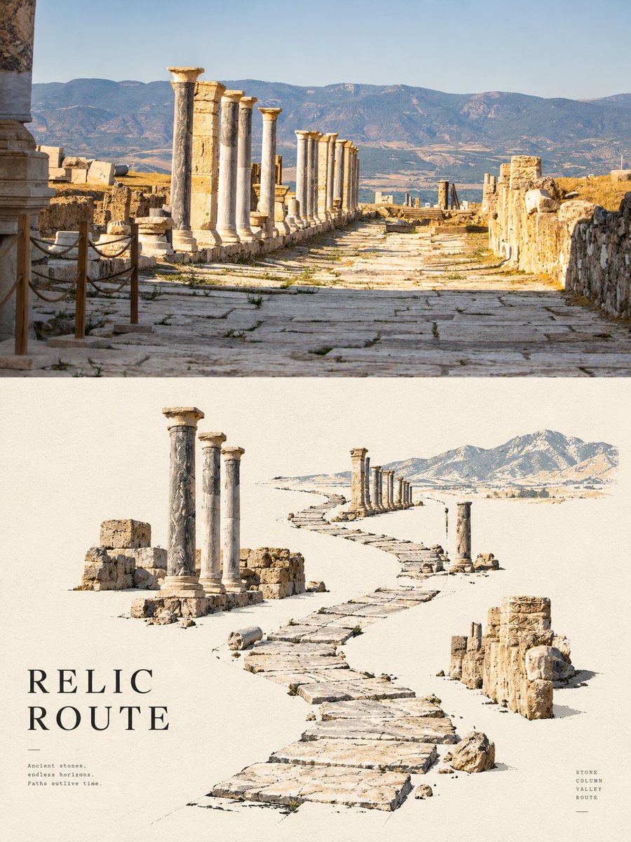
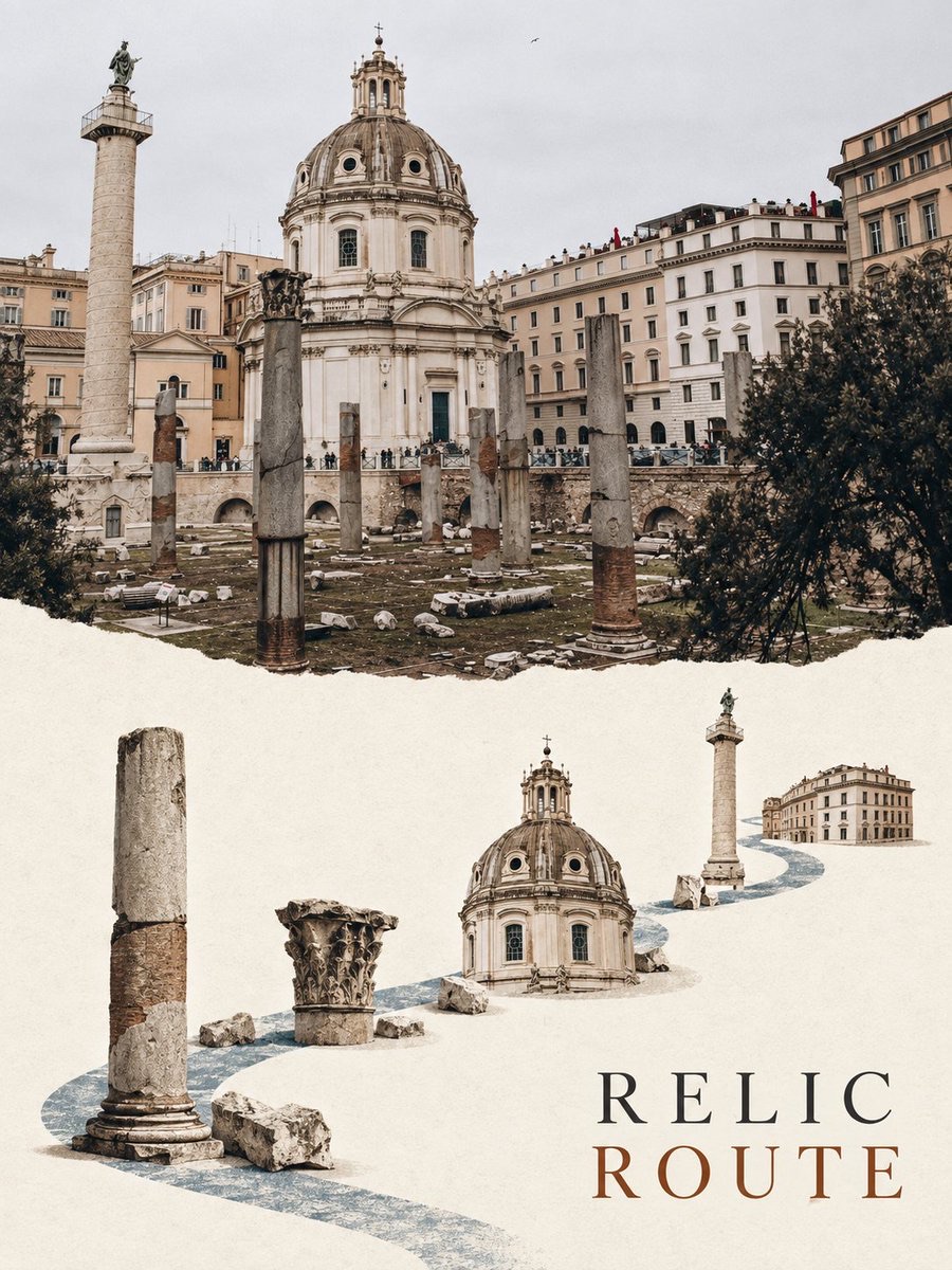
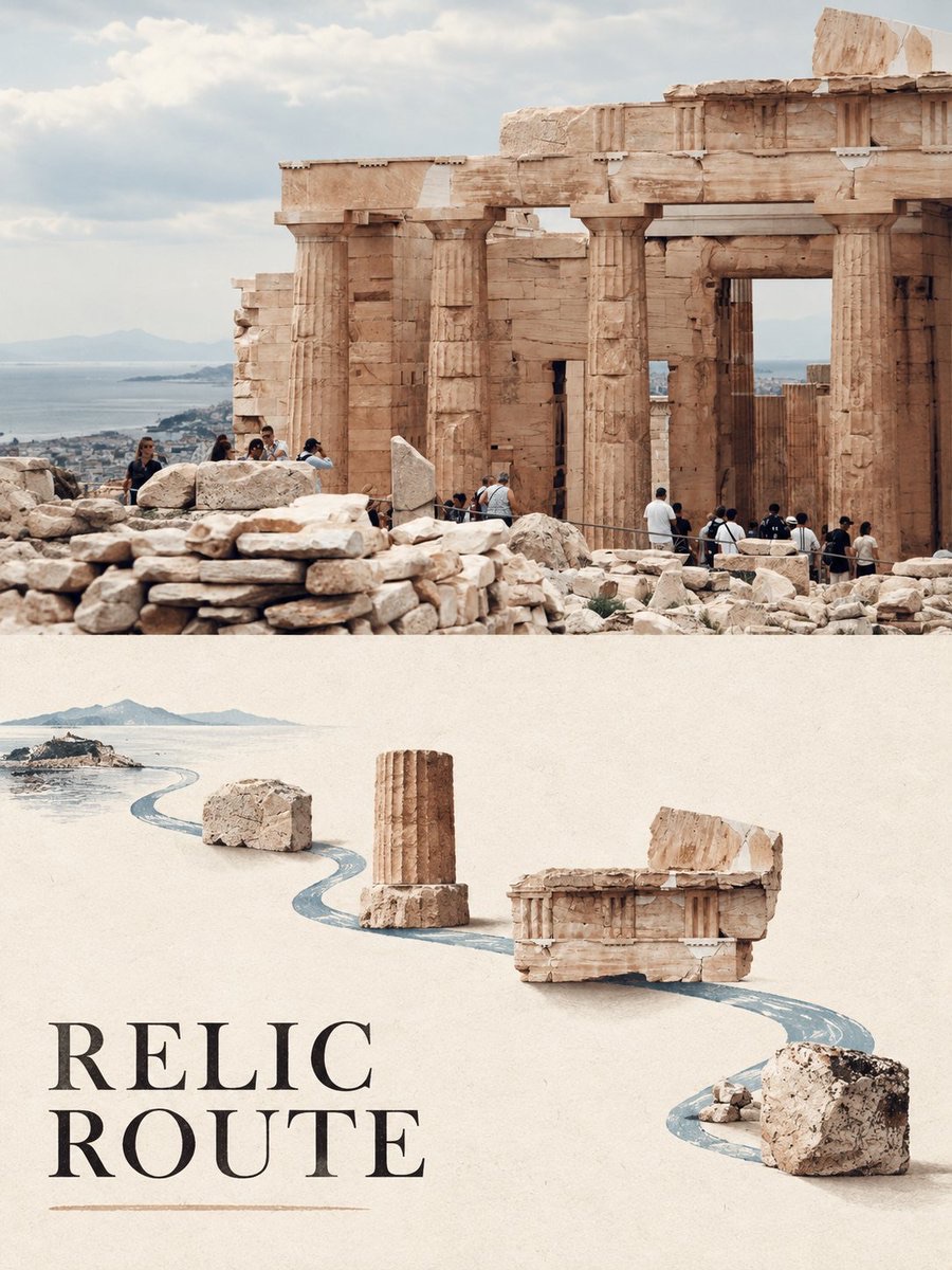
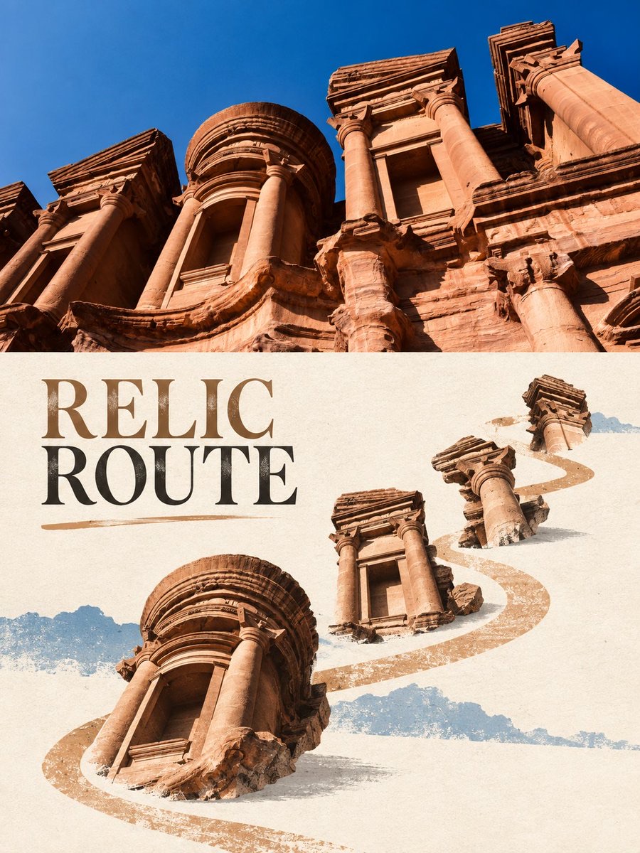
Turn a city travel photo into a vertical top-and-bottom comparison poster: the top half keeps the real photography, and the bottom half recombines the paths and landmarks in the photo into floating relic specimens with an exhibition-catalog feel.
 蛋黄堡@Hamburgerai
Prompt
Turn the input city travel photo into a vertical 3:4 top-and-bottom comparison poster: the top about 50% keeps the real city travel photography, accurately preserving key facts such as roads, sites, bridges, building clusters, ridgelines, or waterfronts; the bottom about 50% is translated into “FLOATING RELIC ROUTE|漂浮遗迹路径版”. The bottom uses a warm ivory fibrous paper base with large continuous white space. From the photo, extract a single gently curved main axis of road, river, coastline, or street-lane path, and along it place 3 to 6 landmark components from the photo, with clear scale jumps and slight contact shadows between components, like floating travel relic specimens. It must not be drawn as a regular map, coordinate grid, or ticket-card collage. Colors are limited to ivory, limestone white, ink black, low-saturation ochre, and mineral blue; the title uses only “RELIC ROUTE”. The centerline must be clear; no unrelated landmarks, logos, watermarks, pseudo-Chinese text, garbled text, or source-image/AI-image corner labels.将输入的城市旅行照片制作成一张竖向3:4上下对比转绘海报,上半约50%保留真实城市旅行摄影,准确保留道路、遗址、桥、建筑群、山脊或水岸的关键事实;下半约50%转译为“FLOATING RELIC ROUTE|漂浮遗迹路径版”。下半使用暖象牙纤维纸底和大面积连续留白,从照片提炼唯一一条略弯的道路、河流、海岸线或街巷路径主轴,沿路径放置3至6个来自照片的地标构件,构件之间有明显尺度跳变和轻微接触阴影,像漂浮的旅行遗迹标本。不得画成规则地图、坐标网格或票卡拼贴。颜色限制为象牙、石灰、墨黑、低饱和赭色与矿物蓝;标题只用“RELIC ROUTE”。中线清晰,不要无关地标、Logo、水印、假中文、乱码或原图/AI图角标。
How to use
Usage tip: upload a city travel photo with clear roads, sites, bridges, buildings, ridgelines, or waterfronts, and prioritize images with clear landmark relationships and unobstructed subjects.
Details
More from 蛋黄堡
-
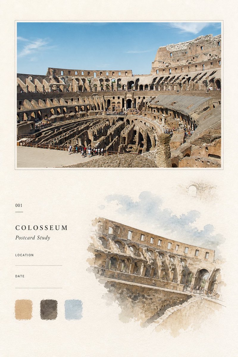
Travel Palette Watercolor Study Poster
-
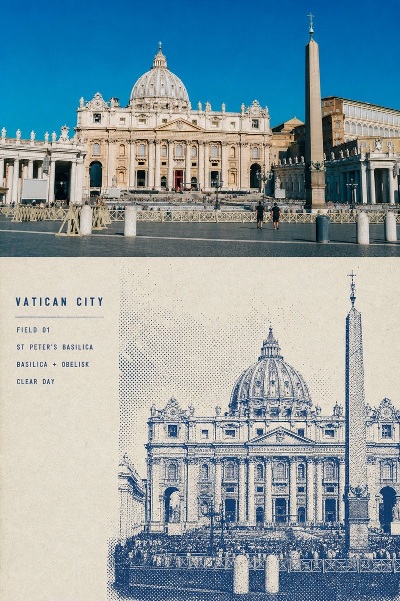
Blue Halftone City Archive
-
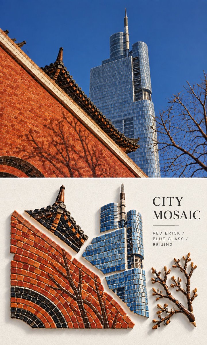
Travel Photo to Glazed Mosaic Relief Poster
-
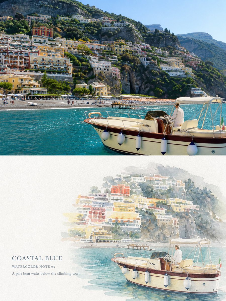
Clear White-Paper Travel Watercolor Editorial Poster
-
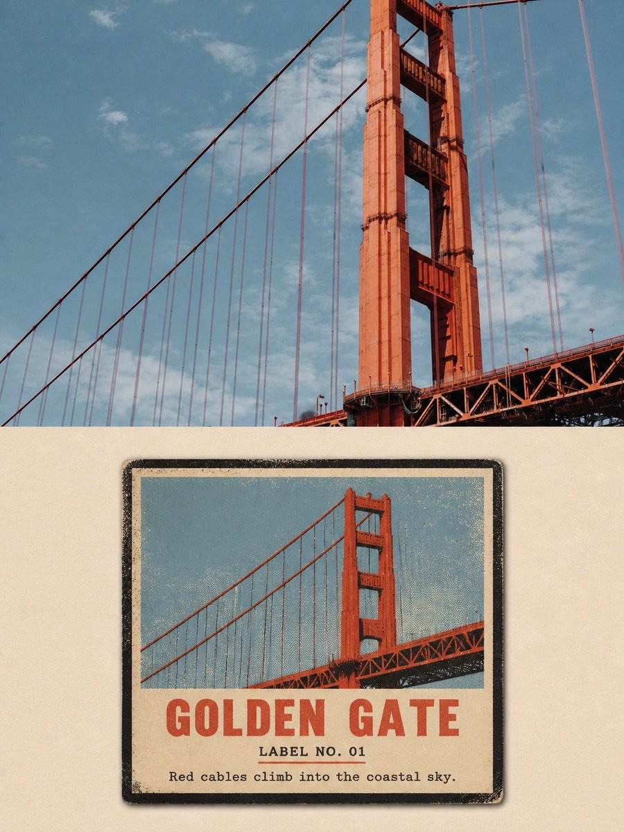
Vintage Matchbox Travel Label Poster
-
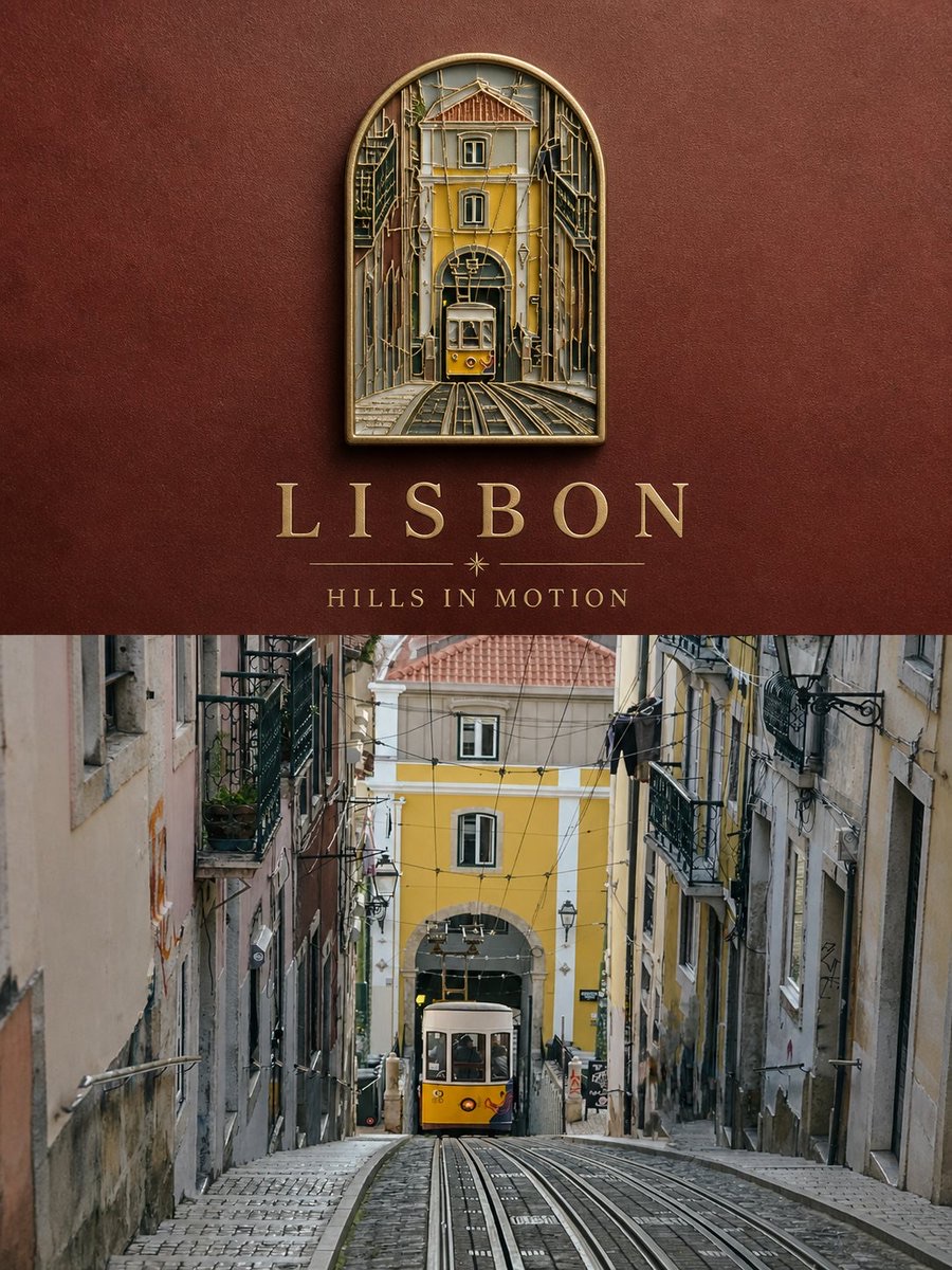
Travel Enamel Fridge Magnet Souvenir Poster
-
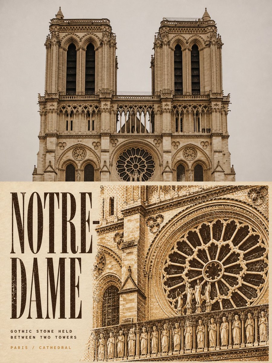
Two-Color Cultural Landmark Editorial Poster
-
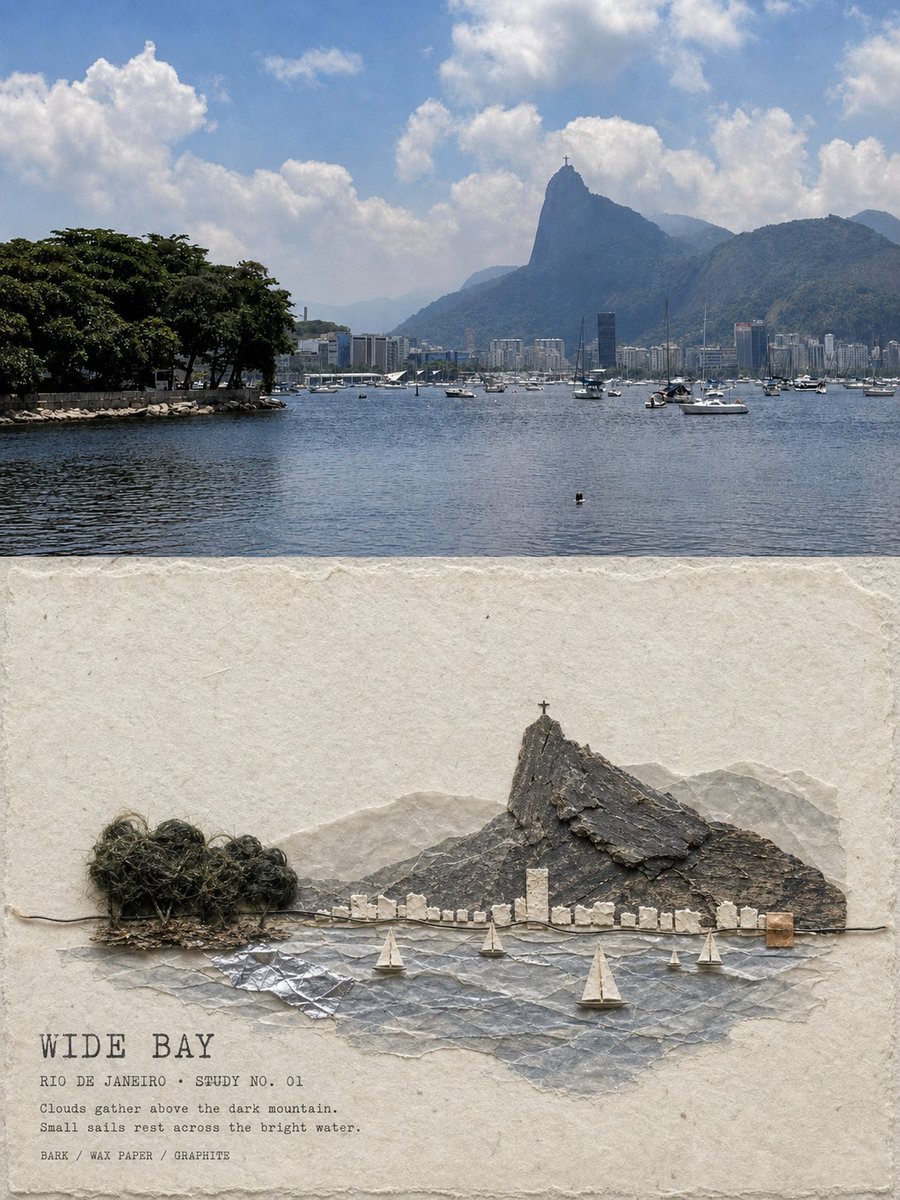
Material Assemblage Contrast Poster from a Travel Photo